

Maps of Csönge
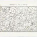 Umgebungen von Sárvár und Jánosház1873|Militärgeographisches Institut1:144 000
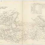 Oedenburger und Raaber Comitat18401:280 000
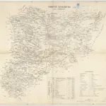 Comitat Eisenburg18401:290 000
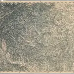 [Gratz1873|Militärgeographisches Institut1:300 000
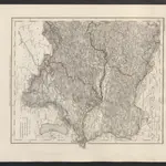 Karte des Erzherzogthums Oesterreich ob und unter der Enns1860|Meyer, J.
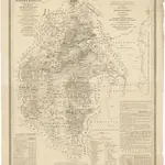 Mappa geographica almae dioecesis Weszprimiensis per inclytos comitatus Weszprim, Simigh et Zala1841|Vizer, Stephan1:240 000
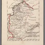 V.3:11-15:XII: 2. Oesterreich. C. Ungarische erbstaaten, I. Koenigr: Ungarn, Gespanschaft 14-15 & 20-211828|Hermann, O.1:200 000
1600
1650
1700
1750
1800
1850
1900
1950
2000

